- Home
- Interactive map of infrastructure facilities restored with international support
International technical assistance
Interactive map of infrastructure facilities restored with international support

The interactive map was developed by the Department of International Technical Assistance, Innovative Development and External Relations of the Luhansk Regional State Administration to present the results of Luhansk Oblast infrastructure rehabilitation with the support of international organizations within international technical assistance projects, local budgets and funds from the State Fund for Rural Development in 2015-2019. work of international partners.

The map contains information on the location of facilities, the donor, the international organization - the executor of the project, the achieved results, photos before and after the restoration.

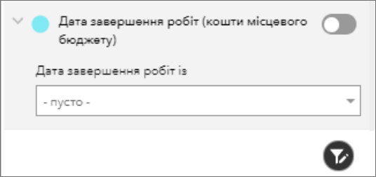
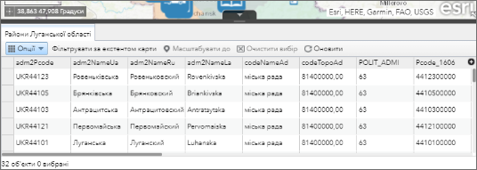
If you need to find an object or group of objects, you must use the appropriate filters, which are located in the attribute table to the left of the map. Thus, it is possible to find objects in a specific area (district, city, village), to find objects that have been repaired by a specific organization or financed by one or another international partner and to make a breakdown by year.

Additionally, for more information, you can load the table of objects using the attribute table at the bottom of the map in the "Options" menu, select "Export all to CVS", and then open this file in "Excel".
If you have any questions regarding the card, you can contact the e-mail address of the Department of Foreign Relations, Foreign Economic and Investment Activities of the Luhansk Regional State Administration: depzz_mtd@ukr.net
